


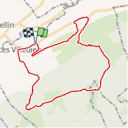

10,4 km | 13,8 km-effort


Benutzer


Kostenlosegpshiking-Anwendung
 SityTrail
IGN / Geografische Institute
SityTrail World
Die Welt öffnet sich für Sie
Tour Wandern von 10,1 km verfügbar auf Burgund und Freigrafschaft, Doubs, Les Villedieu. Diese Tour wird von micheldutilleul vorgeschlagen.
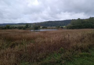
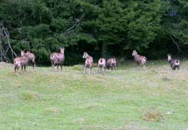
Val de Mouthe. Départ de Villedieu-les-Mouthe. Découverte de 5 chalets d'alpage. (Randonée 14 www.otmouthe.com)
Wandern

Wandern

Wandern
Wandern
Zu Fuß
Wandern
Wandern
Mountainbike

Wandern